Wilderness Ridge - KA7EWN
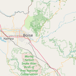
Boise, ID
Repeater ID: 16-107
| Downlink: | 444.65000 |
| Uplink: | 449.65000 |
| Offset: | +5.000 MHz |
| Uplink Tone: | 110.9 |
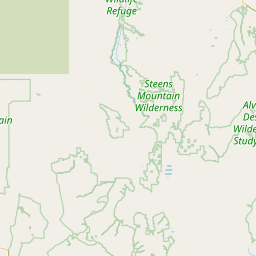
| County: | Boise |
| Call: | KA7EWN |
| Use: | OPEN |
| Op Status: | |
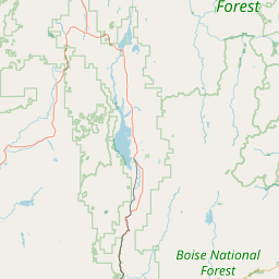
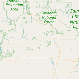
| Coverage: |
Wide area coverage. 70 mi radius. |
| Height (ASL): | 6,000 feet |
| Power: | 50 watts |
| FM: | Yes; analog capable: 25.0 kHz (wideband) |
| Notes: | PL tone is optional. |
| Coordination: | UVHFS |
| Last updated: 2023-05-04 | |
| Last reviewed: 2024-05-14 | |


Exact coordinates of the repeater are
not known.
Coverage circle based on mobile coverage and ignores propagation anomalies and terrain.