Joanna Bald Mtn - K4LI
Robbinsville, NC
Repeater ID: 37-17299
| Downlink: | 53.31000 |
| Uplink: | 52.31000 |
| Offset: | -1.000 MHz |
| Uplink Tone: | 167.9 |
| Downlink Tone: | 167.9 |
| County: | Graham |
| Grid: | EM85cg |
| Call: | K4LI |
| Use: | OPEN |
| Op Status: | |
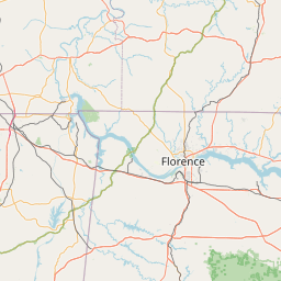
| Coverage: | Wide area coverage. |
| Sponsor: | K4LI |
| FM: | Yes; analog capable: 25.0 kHz (wideband) |
| AllStar: | 46542 👍 Uptime: 63d 12hr 23m 54s |
| Coordination: | SERA |
| Last updated: 2025-04-19 | |
| Last reviewed: 2025-04-19 | |


Exact coordinates of the repeater are
known.
Coverage circle based on mobile coverage and ignores propagation anomalies and terrain.