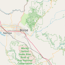
War Eagle Mtn - N7LKA
Silver City, ID
Repeater ID: 16-18313
| Downlink: | 147.04000 |
| Uplink: | 147.64000 |
| Offset: | +0.600 MHz |
| Uplink Tone: | 123.0 |
| Downlink Tone: | 103.5 |
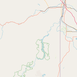
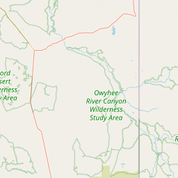
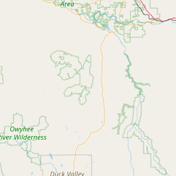
| County: | Owyhee |
| Grid: | DN13pa |
| Call: | N7LKA |
| Use: | OPEN |
| Op Status: | |
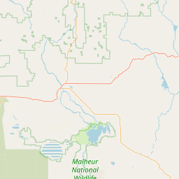
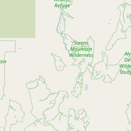
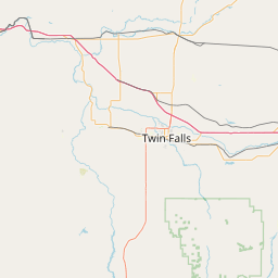
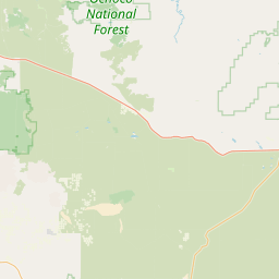
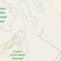
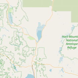
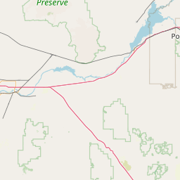
| Coverage: |
East to Twin Falls, Idaho and West into Jordan Valley, Oregon |
| Sponsor: | High Altitude Repeater Association |
| Features: |
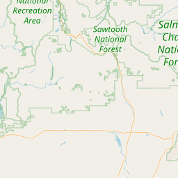
Located on War Eagle Mountain southwest of Boise, Idaho. Coverage from Twin Falls to the east to Jordan Valley and Ontario, Oregon to the west. Coverage on Hwy 84, 95, 55, 26 & 30. |
| FM: | Yes; analog capable: 25.0 kHz (wideband) |
| Notes: | Coverage on Highways Interstate 84, Idaho 95, 55, 26 & 30 |
| Coordination: | W7ZRQ |
| Last updated: 2024-11-27 | |
| Last reviewed: 2024-11-27 | |


Exact coordinates of the repeater are
known.
Coverage circle based on mobile coverage and ignores propagation anomalies and terrain.