Osceola, NE
KG0ED
Repeater ID: 31-21377

| Downlink: | 147.01500 |
| Uplink: | 147.61500 |
| Offset: | +0.600 MHz |
| County: | Polk |
| Call: | KG0ED |
| Use: | OPEN |
| Op Status: | |
| Coverage: | |
| FM: | Yes; analog capable: 25.0 kHz (wideband) |
| Notes: | Coordinated Status is valid. KC0SWG |
| Last updated: 2023-01-04 | |
| Last reviewed: 2024-12-08 | |
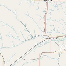
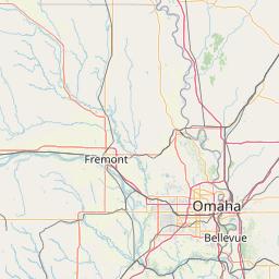
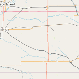
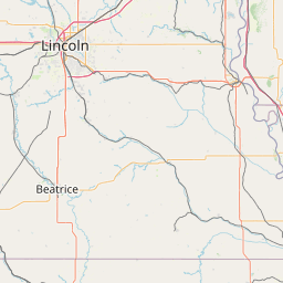
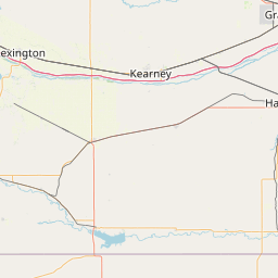
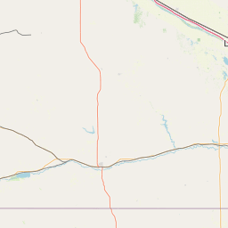
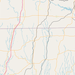

Exact coordinates of the repeater are
not known.
Coverage circle based on mobile coverage and ignores propagation anomalies and terrain.