Mercer Island, WA
W7MIR
Repeater ID: 53-229

| Downlink: | 147.16000 |
| Uplink: | 147.76000 |
| Offset: | +0.600 MHz |
| Uplink Tone: | 146.2 |
| Downlink Tone: | 146.2 |
| County: | King |
| Grid: | CN87vn |
| Call: | W7MIR |
| Use: | OPEN |
| Op Status: | |
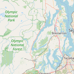
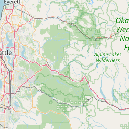
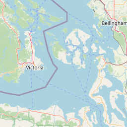
| Coverage: |
40 mi radius. |
| Height (ASL): | 440 feet |
| Antenna (AGL): | 80 feet |
| Power: | 100 watts |
| EIRP: | 80 watts |
| Pattern: | Omnidirectional |
| Sponsor: | Mercer Island Emergency Management |
| Affiliate: | Mercer Island Radio Operators |
| FM: | Yes; analog capable: 25.0 kHz (wideband) |
| EchoLink: | 603596 W7MIR-R |
| 👍 ON - IDLE | |
| Nets: | MIRO: Second Thursdays at 19:00 (PDT) |
| Coordination: | WWARA |
| WWARA Expires: | 2027-07-26 |
| WWARA ID: | 3110 |
| Last updated: 2025-05-02 | |
| Last reviewed: 2025-05-02 | |


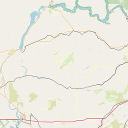


Exact coordinates of the repeater are
known.
Coverage circle based on mobile coverage and ignores propagation anomalies and terrain.