Columbus, IN
KD9UBZ
Repeater ID: 18-22905

| Downlink: | 441.60000 |
| Uplink: | 446.60000 |
| Offset: | +5.000 MHz |
| Uplink Tone: | 103.5 |
| Downlink Tone: | 103.5 |
| County: | Bartholomew |
| Grid: | EM79af |
| Call: | KD9UBZ |
| Use: | OPEN |
| Op Status: | |
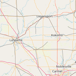
| Coverage: |
35 mi radius. |
| Sponsor: | Columbus Amateur Radio Club |
| Affiliate: | Columbus Amateur Radio Club |
| FM: | Yes; analog capable: 25.0 kHz (wideband) |
| Coordination: | IRC |
| Last updated: 2024-10-24 | |
| Last reviewed: 2024-10-24 | |


Exact coordinates of the repeater are
known.
Coverage circle based on mobile coverage and ignores propagation anomalies and terrain.