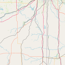
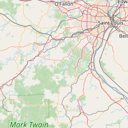
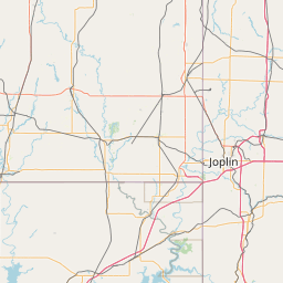
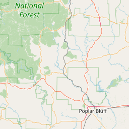
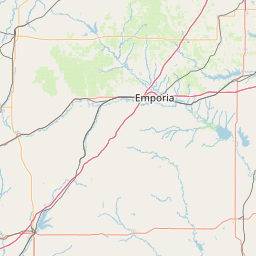
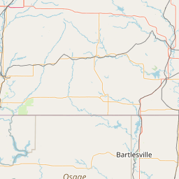
(1 of 2) ...The Flood Warning is extended for the following rivers in Missouri... Marmaton River near Nevada affecting Vernon County. ...The Flood Warning continues for the following rivers in Missouri... Osage River at Taberville affecting St. Clair and Vernon Counties. For the Marmaton River...including Fort Scott, Nevada...Minor flooding is forecast. For the Osage River...including Taberville...Minor flooding is forecast. * WHAT...Minor flooding is occurring and minor flooding is forecast. * WHERE...Marmaton River near Nevada. * WHEN...Until early Thursday morning. * IMPACTS...At 20.0 feet, minor flooding occurs near the gage site and affects low lying areas along the river. * ADDITIONAL DETAILS... - At 6:45 PM CDT Tuesday the stage was 21.0 feet. - Bankfull stage is 20.0 feet. - Recent Activity...The maximum river stage in the 24 hours ending at 6:45 PM CDT Tuesday was 22.0 feet. - Forecast...The river is expected to fall below flood stage just after midnight tonight and continue falling to 6.4 feet Sunday evening. - Flood stage is 20.0 feet. - http://www.weather.gov/safety/flood (2 of 2) ...The Flood Warning is extended for the following rivers in Missouri... Marmaton River near Nevada affecting Vernon County. ...The Flood Warning continues for the following rivers in Missouri... Osage River at Taberville affecting St. Clair and Vernon Counties. For the Marmaton River...including Fort Scott, Nevada...Minor flooding is forecast. For the Osage River...including Taberville...Minor flooding is forecast. * WHAT...Minor flooding is occurring and minor flooding is forecast. * WHERE...Osage River at Taberville. * WHEN...Until Sunday evening. * IMPACTS...At 29.0 feet, flood waters impact B Highway 2.5 miles east of Rich Hill in the vicinity of the Bates County Drainage Ditch. * ADDITIONAL DETAILS... - At 6:45 PM CDT Tuesday the stage was 29.1 feet. - Bankfull stage is 23.0 feet. - Recent Activity...The maximum river stage in the 24 hours ending at 6:45 PM CDT Tuesday was 29.1 feet. - Forecast...The river is expected to fall below flood stage Saturday evening and continue falling to 20.9 feet Sunday evening. - Flood stage is 23.0 feet. - http://www.weather.gov/safety/flood
honey pot Macks Creek, Missouri, 147.255, KA0KDW Repeater

Macks Creek, MO

KA0KDW
Repeater ID: 29-23040

Downlink: 147.25500
Uplink: 147.85500
Offset: +0.600 MHz
Uplink Tone: D165
Downlink Tone: D165
County: Camden
Grid: EM37nx
Call: KA0KDW
Use: OPEN
Op Status: ON-AIR On-Air
Coverage: 30 mi radius.
Sponsor: KA0KDW & W0LZW
Features: This repeater has SkywarnPlus & SkyDescribe installed. Weather alerts will be read when issued and a reminder of alert type will be mentioned from time to time. Counties listed for this feature are Camden, Dallas, Hickory, and Polk.
Emergency power equipped - Generator
FM: Yes; analog capable: 25.0 kHz (wideband)
EchoLink: 294043 KA0KDW-R
πŸ‘ ON - IDLE
AllStar: 44114 πŸ‘ Uptime: 2d 2m 7s
Nets: Polk County ARC Net: Monday at 19:00 (CDT)
The North American TalkBox Net: Tuesday at 20:00 (CDT)
The Beacon Net: Wednesday at 21:00 (CDT) - Pre-Checks begin at 20:30
Nixa ARC Net: Thursday at 19:30 (CDT)
Coordination: MRC
Last updated: 2025-05-04
Last reviewed: 2025-05-04
MarkerMarker
30 km
20 mi
Leaflet Β© OSM contributors

Exact coordinates of the repeater are known.
Coverage circle based on mobile coverage and ignores propagation anomalies and terrain.

Signal Reports (click map icon for details): Base Mobile HT
Add a Signal Report


Call Date Details
KA0KDW (registered) 2025-04-05 Updated location
KA0KDW (registered) 2025-02-20 Updated notes
KA0KDW (registered) 2025-01-20 Updated repeater link and nets
KA0KDW (registered) 2025-01-11 Added nets
KA0KDW (registered) 2025-01-11 Added feature
KA0KDW (registered) 2025-01-04
KA0KDW (registered) 2025-01-04 Added AllStar & EchoLink
KA0KDW (registered) 2024-12-29 Added live feed
KA0KDW (registered) 2024-11-26 Repeater added