Meadow Peak - K7LBY
Happy's Inn, MT
Repeater ID: 30-54

| Downlink: | 145.31000 |
| Uplink: | 144.71000 |
| Offset: | -0.600 MHz |
| Uplink Tone: | 100.0 |
| Downlink Tone: | 100.0 |
| County: | Lincoln |
| Grid: | DN28mb |
| Call: | K7LBY |
| Use: | OPEN |
| Op Status: | |
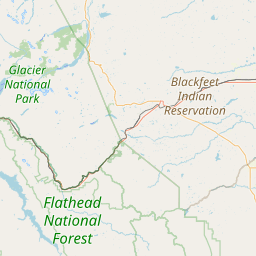
| Coverage: |
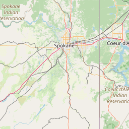
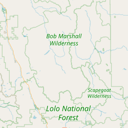
Primarily for Hwy 2 between Kalispell and Libby. Wide Area: southern Lincoln County, western Flathead County east to Columbia Falls, and all of Lake County south to Evaro. Spotty coverage to Eureka, Trout Creek, Thompson Falls, Plains, and Superior. Link established to King Mtn 146.840 (tone 100) provides further coverage to Libby, Troy, Bull Lake/Hwy 56, Bonners Ferry, and Moyie. Wide area coverage. 65 mi radius. |
| Sponsor: | Lincoln County Amateur Radio Group (LCARG) |
| FM: | Yes; analog capable: 25.0 kHz (wideband) |
| Notes: | Meadow Peak is powered by a single solar panel, please keep transmissions short. |
| Nets: | LCARG Saturday Noontime Net: Saturdays at 12:00 Latter-Day Saints Net: Sunday at 20:30. |
| Coordination: | MRCC |
| Last updated: 2023-06-04 | |
| Last reviewed: 2024-08-13 | |
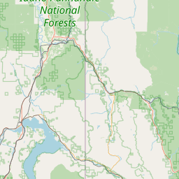
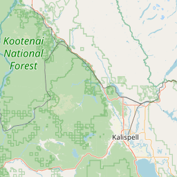
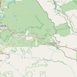
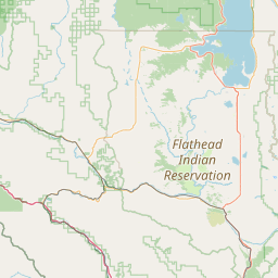
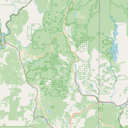
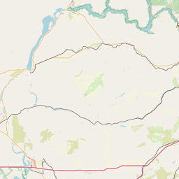


Exact coordinates of the repeater are
known.
Coverage circle based on mobile coverage and ignores propagation anomalies and terrain.