Seaman's Gulch - N7BOI
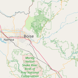
Boise, ID
Repeater ID: 16-5448
| Downlink: | 147.38000 |
| Uplink: | 147.98000 |
| Offset: | +0.600 MHz |
| Uplink Tone: | D026 |
| Downlink Tone: | D026 |
| County: | Ada |
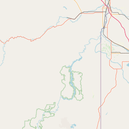
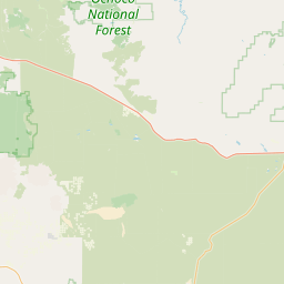
| Grid: | DN13uq |
| Call: | N7BOI |
| Use: | OPEN |
| Op Status: | |
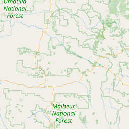
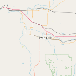
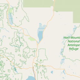
| Coverage: |
SW Idaho 20 mi radius. |
| Sponsor: | City of Boise |
| Affiliate: | City of Boise ACS |
| Features: |
E-power, weather nets. Emergency power equipped. |
| FM: | Yes; analog capable: 25.0 kHz (wideband) |
| Coordination: | W7ZRQ |
| Last updated: 2025-01-01 | |
| Last reviewed: 2025-01-01 | |


Exact coordinates of the repeater are
known.
Coverage circle based on mobile coverage and ignores propagation anomalies and terrain.