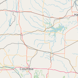
(1 of 3) ...The Flood Warning is extended for the following rivers in Missouri... Little Osage River near Horton affecting Vernon County. Marmaton River near Nevada affecting Vernon County. Osage River at Taberville affecting St. Clair and Vernon Counties. For the Little Osage River...including Horton...Minor flooding is forecast. For the Marmaton River...including Nevada...Minor flooding is forecast. For the Osage River...including Taberville...Minor flooding is forecast. * WHAT...Minor flooding is occurring and minor flooding is forecast. * WHERE...Little Osage River near Horton. * WHEN...Until Wednesday morning. * IMPACTS...At 45.0 feet, moderate flooding occurs at the gage site. Low lying areas along Route D near Stotesbury flood. * ADDITIONAL DETAILS... - At 7:45 PM CDT Sunday the stage was 43.4 feet. - Bankfull stage is 41.0 feet. - Recent Activity...The maximum river stage in the 24 hours ending at 7:45 PM CDT Sunday was 43.7 feet. - Forecast...The river is expected to rise to a crest of 43.5 feet just after midnight tonight. It will then fall below flood stage Tuesday morning. - Flood stage is 41.0 feet. - Flood History...This crest compares to a previous crest of 43.5 feet on 05/29/2008. - http://www.weather.gov/safety/flood (2 of 3) ...The Flood Warning is extended for the following rivers in Missouri... Little Osage River near Horton affecting Vernon County. Marmaton River near Nevada affecting Vernon County. Osage River at Taberville affecting St. Clair and Vernon Counties. For the Little Osage River...including Horton...Minor flooding is forecast. For the Marmaton River...including Nevada...Minor flooding is forecast. For the Osage River...including Taberville...Minor flooding is forecast. * WHAT...Minor flooding is occurring and minor flooding is forecast. * WHERE...Marmaton River near Nevada. * WHEN...Until Wednesday evening. * IMPACTS...At 22.0 feet, flood waters impact the county road west of Nevada at the gage site. * ADDITIONAL DETAILS... - At 7:45 PM CDT Sunday the stage was 22.6 feet. - Bankfull stage is 20.0 feet. - Recent Activity...The maximum river stage in the 24 hours ending at 7:45 PM CDT Sunday was 23.2 feet. - Forecast...The river is expected to fall below flood stage Tuesday evening and continue falling to 8.3 feet Friday evening. - Flood stage is 20.0 feet. - Flood History...This crest compares to a previous crest of 22.6 feet on 02/13/2009. - http://www.weather.gov/safety/flood (3 of 3) ...The Flood Warning is extended for the following rivers in Missouri... Little Osage River near Horton affecting Vernon County. Marmaton River near Nevada affecting Vernon County. Osage River at Taberville affecting St. Clair and Vernon Counties. For the Little Osage River...including Horton...Minor flooding is forecast. For the Marmaton River...including Nevada...Minor flooding is forecast. For the Osage River...including Taberville...Minor flooding is forecast. * WHAT...Minor flooding is occurring and minor flooding is forecast. * WHERE...Osage River at Taberville. * WHEN...Until further notice. * IMPACTS...At 27.5 feet, flood waters impact all of the low lying areas in the Schell Osage Conservation Area as well as several county roads west of Schell City. * ADDITIONAL DETAILS... - At 7:45 PM CDT Sunday the stage was 27.8 feet. - Bankfull stage is 23.0 feet. - Recent Activity...The maximum river stage in the 24 hours ending at 7:45 PM CDT Sunday was 27.8 feet. - Forecast...The river is expected to rise to a crest of 27.9 feet just after midnight tonight. - Flood stage is 23.0 feet. - Flood History...This crest compares to a previous crest of 27.8 feet on 05/28/2021. - http://www.weather.gov/safety/flood
honey pot Des Peres, West County Mall, Missouri, 146.91, W0SRC Repeater

West County Mall - W0SRC

Des Peres, MO
Repeater ID: 29-5747

Downlink: 146.91000
Uplink: 146.31000
Offset: -0.600 MHz
Uplink Tone: 141.3
County: St Louis
Grid: EM48so
Call: W0SRC
Use: OPEN
Op Status: ON-AIR On-Air
Coverage: 35 mi radius.
Sponsor: St. Louis and Suburban Radio Club
Features: Emergency power equipped.
FM: Yes; analog capable: 25.0 kHz (wideband)
Notes: Backup STL SKYWARN Repeater
Web links: SLSRC Repeater Info
Coordination: MRC
Last updated: 2025-06-06
Last reviewed: 2025-06-06
MarkerMarkerMarker
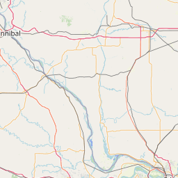
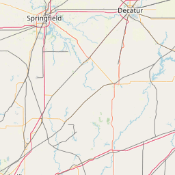
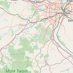
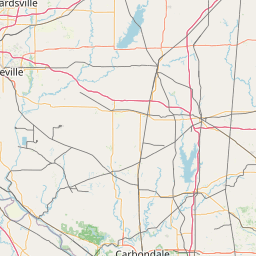
30 km
20 mi
Leaflet © OSM contributors

Exact coordinates of the repeater are known.
Coverage circle based on mobile coverage and ignores propagation anomalies and terrain.

Signal Reports (click map icon for details): Base Mobile HT
Add a Signal Report


Date Information Updated
2011-04-22 00:00:00 Added from MRC Site.

Call Date Details
N9EXR (registered) 2024-05-03 Reported on-air.