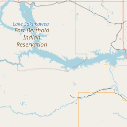
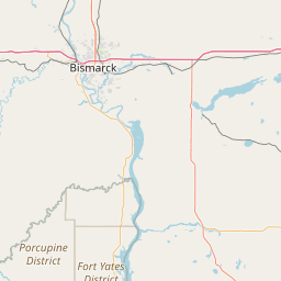
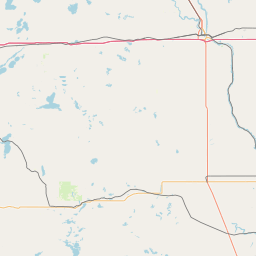
(1 of 3) SVRFGF The National Weather Service in Grand Forks has issued a * Severe Thunderstorm Warning for... Benson County in northeastern North Dakota... Towner County in northeastern North Dakota... Western Cavalier County in northeastern North Dakota... Western Ramsey County in northeastern North Dakota... * Until 300 AM CDT. * At 212 AM CDT, severe thunderstorms were located along a line extending from 12 miles north of Sarles to near Heimdal, moving east at 35 mph. HAZARD...60 mph wind gusts and quarter size hail. SOURCE...Radar indicated. IMPACT...Hail damage to vehicles is expected. Expect wind damage to roofs, siding, and trees. * Locations impacted include... Devils Lake, Cando, Camp Grafton, Lakewood Park, Leeds, Maddock, and Fort Totten. (2 of 3) * WHAT...West winds to 40 mph with gusts up to 65 mph. * WHERE...Burke, Divide, Mountrail, and Williams Counties. * WHEN...Until 3 AM CDT Sunday. * IMPACTS...The high winds may damage roofs, small outbuildings and signs. Tree branches may be broken. Travel will be difficult, especially for high profile vehicles. (3 of 3) ...The National Weather Service in Bismarck ND continues the Flood Warning for the Missouri River near Williston affecting McKenzie and Williams Counties in North Dakota... * WHAT...Minor flooding is occurring. * WHERE...Missouri River near Williston. * WHEN...Until Monday evening. * IMPACTS...At 20.0 feet, Ditches in the vicinity of the river will fill and wildlife management lands along the south banks will begin to flood. At 22.0 feet, Low-lying farmland and access roads to oil well sites near Trenton are flooded. City of Williston does not flood. * ADDITIONAL DETAILS... - At 8:00 AM CDT Saturday /7:00 AM MDT Saturday/ the stage was 22.4 feet. - Forecast...The river is expected to rise to a crest of 22.5 feet this afternoon. It will then fall below flood stage Monday morning. - Flood stage is 22.0 feet. - Flood History...This crest compares to a previous crest of 21.5 feet on 06/16/2013.
RepeaterBook.com Home Page
Advertisements


honey pot Center, North Dakota, 444.9, KE0VF Repeater

Center, ND

KE0VF
Repeater ID: 38-6654

Downlink: 444.90000
Uplink: 449.90000
Offset: +5.000 MHz
Uplink Tone: CSQ
County: Oliver
Grid: DN97IC
Call: KE0VF
Use: OPEN
Op Status: ON-AIR On-Air
FM: Yes; analog capable.
Analog Bandwidth: 25.0 kHz

Open Street Map

Exact coordinates of the repeater are known.
Coverage circle does not account for propagation anomalies or terrain.

Add a Propagation Report

- Base - HT - Mobile
Click the icons on map for details.


Call Date Information
N5MKH (registered) 2019-05-05 Off-Air
KD0UXO 2013-05-09 On-air.
KC0CCB (registered) 2012-01-19 Added.


If you have an iPhone/iPod/iPad or Android device, please download the FREE official RepeaterBook app!


Advertisement

Copyright © 2006-2024 RepeaterBook.com. All Rights Reserved.
Created and owned by KD6KPC/WREQ745 since 2006.
All data, including non-copyrightable data, is protected from theft under Oregon law (ORS 164.377).

Page created in 0.065612 seconds.