(1 of 4) ...The Flood Warning is extended for the following rivers in Indiana... Wildcat Creek near Jerome. Wabash River at Montezuma. Wildcat Creek near Lafayette. ...The Flood Warning continues for the following rivers in Indiana... Wildcat Creek at Kokomo. .Rainfall amounts of 3 to 5 inches across portions of central Indiana late Friday into early Saturday continues to produce minor flooding along area creeks and rivers. Flooding along Wildcat Creek and Wabash River will gradually diminish over the next 24 hours. * WHAT...Minor flooding is occurring and minor flooding is forecast. * WHERE...Wildcat Creek at Kokomo. * WHEN...Until late tomorrow morning. * IMPACTS...At 10.0 feet, Water begins to overflow in local parks. * ADDITIONAL DETAILS... - At 9:00 PM EDT Sunday the stage was 10.5 feet. - Recent Activity...The maximum river stage in the 24 hours ending at 9:00 PM EDT Sunday was 11.4 feet. - Forecast...The river is expected to rise to a crest of 10.8 feet late this evening. It will then fall below flood stage late tonight. - Flood stage is 10.0 feet. - http://www.weather.gov/safety/flood (2 of 4) ...The Flood Warning is extended for the following rivers in Indiana... Wildcat Creek near Jerome. Wabash River at Montezuma. Wildcat Creek near Lafayette. ...The Flood Warning continues for the following rivers in Indiana... Wildcat Creek at Kokomo. .Rainfall amounts of 3 to 5 inches across portions of central Indiana late Friday into early Saturday continues to produce minor flooding along area creeks and rivers. Flooding along Wildcat Creek and Wabash River will gradually diminish over the next 24 hours. * WHAT...Minor flooding is occurring and minor flooding is forecast. * WHERE...Wildcat Creek near Lafayette. * WHEN...Until late Tuesday morning. * ADDITIONAL DETAILS... - At 8:45 PM EDT Sunday the stage was 12.6 feet. - Recent Activity...The maximum river stage in the 24 hours ending at 8:45 PM EDT Sunday was 13.0 feet. - Forecast...The river is expected to rise to a crest of 12.6 feet just after midnight tonight. It will then fall below flood stage early Tuesday morning. - Flood stage is 10.0 feet. - http://www.weather.gov/safety/flood (3 of 4) ...The Flood Warning is extended for the following rivers in Indiana... Wildcat Creek near Jerome. Wabash River at Montezuma. Wildcat Creek near Lafayette. ...The Flood Warning continues for the following rivers in Indiana... Wildcat Creek at Kokomo. .Rainfall amounts of 3 to 5 inches across portions of central Indiana late Friday into early Saturday continues to produce minor flooding along area creeks and rivers. Flooding along Wildcat Creek and Wabash River will gradually diminish over the next 24 hours. * WHAT...Minor flooding is occurring and minor flooding is forecast. * WHERE...Wabash River at Montezuma. * WHEN...Until late Wednesday morning. * IMPACTS...At 14.0 feet, Several hundred acres of bottomlands along the right bank from the mouth of Sugar Creek to northern edge of Montezuma begin to flood. * ADDITIONAL DETAILS... - At 8:45 PM EDT Sunday the stage was 14.8 feet. - Recent Activity...The maximum river stage in the 24 hours ending at 8:45 PM EDT Sunday was 14.8 feet. - Forecast...The river will oscillate around flood stage with a maximum value of 14.9 feet just after midnight tonight. - Flood stage is 14.0 feet. - http://www.weather.gov/safety/flood (4 of 4) ...The National Weather Service in Indianapolis IN has issued a Flood Warning for the following rivers in Indiana... Wabash River at Lafayette. .Rainfall amounts of 3 to 5 inches across portions of central Indiana late Friday into early Saturday continues to produce minor flooding along area creeks and rivers. Flooding along the upper Wabash is expected to begin later tonight into tomorrow morning. * WHAT...Minor flooding is forecast. * WHERE...Wabash River at Lafayette. * WHEN...From late tonight to early Tuesday morning. * IMPACTS...At 11.0 feet, Nuisance flooding of a couple of low agricultural fields begins in far western part of Tippecanoe County. * ADDITIONAL DETAILS... - At 8:30 PM EDT Sunday the stage was 10.5 feet. - Forecast...The river will rise above flood stage just after midnight tonight to 11.5 feet tomorrow morning. It will then fall below flood stage tomorrow afternoon to 7.7 feet Wednesday morning. - Flood stage is 11.0 feet. - http://www.weather.gov/safety/flood
honey pot West Lafayette, Water Tower, Indiana, 444.175, KA9VXS Repeater

Water Tower - KA9VXS

West Lafayette, IN
Repeater ID: 18-6949

Downlink: 444.17500
Uplink: 449.17500
Offset: +5.000 MHz
Uplink Tone: 131.8
Downlink Tone: 131.8
System Fusion Enabled
DG-ID:
County: Tippecanoe
Call: KA9VXS
Use: OPEN
Op Status: ON-AIR On-Air
Coverage: Wide Area Coverage:
Wide area coverage.
Pattern: Omnidirectional
Features: Emergency Power. Generator. Internet Service Onsite.
Emergency power equipped.
FM: Yes; analog capable: 25.0 kHz (wideband)
Notes: IRC Listing (as of 17 April 2023): West Lafayette, IN 444.175 131.8 KA9VXS 5.1 KA9VXS O 131.8ex WX. RB: Current Repeater Record Custodian (RRC) for KA9VXS 444.17500 West Lafayette repeater (18-6949): KA9VXS.
Coordination: IRC
Last updated: 2023-04-17
Last reviewed: 2024-07-05
Marker
30 km
20 mi
Leaflet © OSM contributors

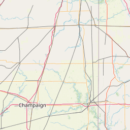
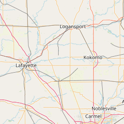
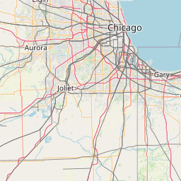
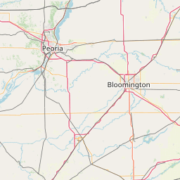
Exact coordinates of the repeater are not known.
Coverage circle based on mobile coverage and ignores propagation anomalies and terrain.

Signal Reports (click map icon for details): Base Mobile HT
Add a Signal Report


Date Information Updated
2021-01-29 16:28:31 Added.
2021-01-29 16:26:42 I-65 coverage added.

Call Date Details
N9EXR (registered) 2024-07-02 Updated