Jumpoff Peak - W7RUG
Howe, ID
Repeater ID: 16-7024

| Downlink: | 447.62000 |
| Uplink: | 442.62000 |
| Offset: | -5.000 MHz |
| Uplink Tone: | 88.5 |
| Downlink Tone: | 100.0 |
| County: | Butte |
| Call: | W7RUG |
| Use: | OPEN |
| Op Status: | |
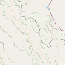
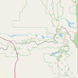
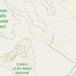
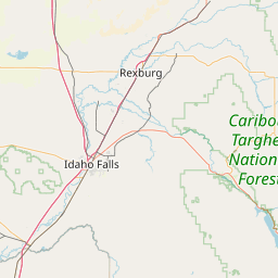
| Coverage: |
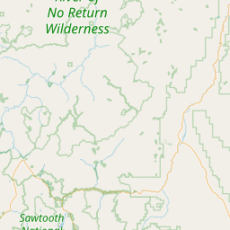
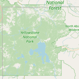
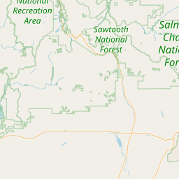
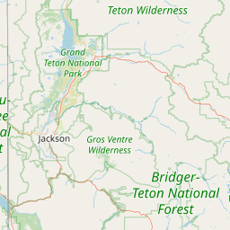
Wide area. S.E. Idaho covers Snake River Plane from Twin Falls to Island Park. Wide area coverage. 65 mi radius. |
| Sponsor: | W7RUG |
| FM: | Yes; analog capable: 25.0 kHz (wideband) |
| EchoLink: | 459433 |
| 👎 Node Offline | |
| IRLP: |
3754
Extended Down for 1429 days, 16 hours, 58 minutes, 18 seconds. |
| Commands: | Precede IRLP Access with a # sign |
| Coordination: | W7ZRQ |
| Last updated: 2024-08-13 | |
| Last reviewed: 2024-08-13 | |
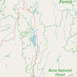


Exact coordinates of the repeater are
not known.
Coverage circle based on mobile coverage and ignores propagation anomalies and terrain.