Eldorado Mtn - W0CRA
Boulder, CO
Repeater ID: 08-8
| Downlink: | 145.46000 |
| Uplink: | 144.86000 |
| Offset: | -0.600 MHz |
| Uplink Tone: | 107.2 |
| Downlink Tone: | 107.2 |
| County: | Boulder |
| Grid: | DM79iv |
| Call: | W0CRA |
| Use: | OPEN |
| Op Status: | |
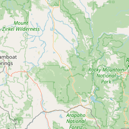
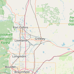
| Coverage: |
Boulder/Denver Metro |
| Sponsor: | Colorado Repeater Association (CRA) |
| Affiliate: | CRA VHF Link System |
| Features: |
Closed autopatch, e-power. Emergency power equipped. |
| FM: | Yes; analog capable: 25.0 kHz (wideband) |
| Links: |
Full-time to 145.16000 (W0CRA) at Colorado Springs, Cheyenne Mtn, CO. Full-time to 147.22500 (W0CRA) at Larkspur, Westcreek, CO. |
| EchoLink: | 347086 |
| 👎 Node Offline | |
| IRLP: |
3990
Extended Down for 10 days, 23 hours, 7 minutes, 10 seconds. |
| Commands: | Member-only IRLP and Echolink node |
| Coordination: | CCARC |
| Last updated: 2021-08-25 | |
| Last reviewed: 2024-09-14 | |


Exact coordinates of the repeater are
known.
Coverage circle based on mobile coverage and ignores propagation anomalies and terrain.