Wanda, MN
KD0IAI
Repeater ID: 27-8304
| Downlink: | 444.02500 |
| Uplink: | 449.02500 |
| Offset: | +5.000 MHz |
| Uplink Tone: | 141.3 |
| Downlink Tone: | 141.3 |
| County: | Redwood |
| Grid: | EN24jh |
| Call: | KD0IAI |
| Use: | OPEN |
| Op Status: | |
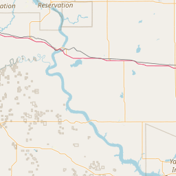
| Coverage: |
35 mi radius. |
| Sponsor: | RAARA |
| FM: | Yes; analog capable: 25.0 kHz (wideband) |
| Nets: | MN D-Star Net Sundays at 19:30 on MN Reflector 53A |
| Coordination: | Minnesota Repeater Council |
| Last updated: 2022-05-10 | |
| Last reviewed:
2022-05-10 |
|


Exact coordinates of the repeater are
known.
Coverage circle based on mobile coverage and ignores propagation anomalies and terrain.