Mt Harrison - KC7SNN
Burley, ID
Repeater ID: 16-159
| Downlink: | 449.20000 |
| Uplink: | 444.20000 |
| Offset: | -5.000 MHz |
| Uplink Tone: | D023 |
| Downlink Tone: | D023 |
| System Fusion Enabled | |
| DG-ID: | |
| WIRES-X: | 33714 No matching ID is currently active. |
| Reflector: | None found |
| County: | Cassia |
| Grid: | DN32eh |
| Call: | KC7SNN |
| Use: | OPEN |
| Op Status: | |
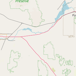
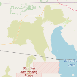
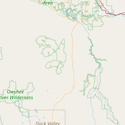
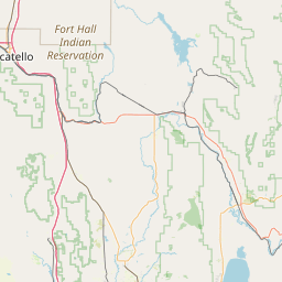
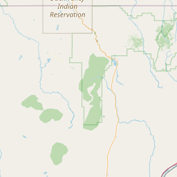
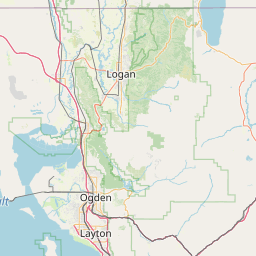
| Coverage: |
Southern Idaho and northern Utah. Wide area coverage. 100 mi radius. |
| Height (ASL): | 9,000 feet |
| Sponsor: | Idaho Soc of Radio Amateurs - Magic Valley Hams |
| FM: | Yes; analog capable: 25.0 kHz (wideband) |
| Links: |
Full-time to 443.75000 (KB7SQS) at Twin Falls, ID. Full-time to 444.60000 (KB7SQS) at Twin Falls, ID. Full-time to 442.30000 (K7MVA) at Jerome, Flat Top Butte, ID. |
| EchoLink: | 720238 KB7SQS |
| 👍 ON - IDLE | |
| Commands: | Standard WIRES-X, Linked and converted or to analog on Allstar and Echolink. |
| Notes: | 9,000 ft. |
| Nets: | MVARC Room 43210: Thu at 18:45 |
| Coordination: | UVHFS |
| Last updated: 2024-05-21 | |
| Last reviewed: 2024-05-21 | |
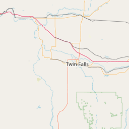


Exact coordinates of the repeater are
known.
Coverage circle based on mobile coverage and ignores propagation anomalies and terrain.