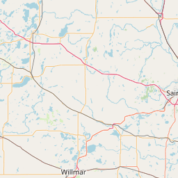
Cold Spring, MN
WJ0U
Repeater ID: 27-16472

| Downlink: | 442.30000 |
| Uplink: | 447.30000 |
| Offset: | +5.000 MHz |
| DMR Enabled | |
| Color Code: | 3 |
| DMR ID: | DMR ID Needed |
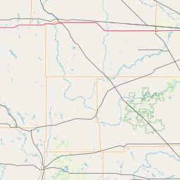
| County: | Stearns |
| Call: | WJ0U |
| Use: | OPEN |
| Op Status: | |
| Coverage: |
Wide area coverage though Central Minnesota Wide area coverage. 65 mi radius. |
| Coordination: | Minnesota Repeater Council |
| Last updated: 2020-09-21 | |
| Last reviewed: 2024-05-29 | |
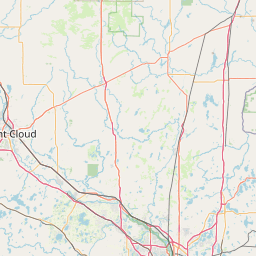
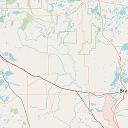
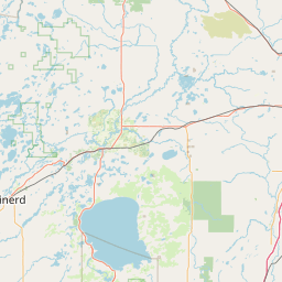

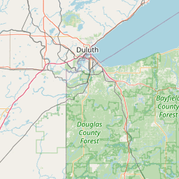


Exact coordinates of the repeater are
not known.
Coverage circle based on mobile coverage and ignores propagation anomalies and terrain.
Activity
Travel
Posted by: W0SAV