Log Hill - AD0RM
Ridgway, CO
Repeater ID: 08-17998

| Downlink: | 447.80000 |
| Uplink: | 442.80000 |
| Offset: | -5.000 MHz |
| Uplink Tone: | 141.3 |
| DMR Enabled | |
| Color Code: | 1 |
| DMR ID: |
311075 IPSC Network: BrandMeister - Color Code: 1 - TS Linked: TS1 TS2 - Trustee: Time Slot # 1 - 93 = North America Time Slot # 2 - 31086 = Western Colorado Mixed DMR and Analog repeater on Log Hill, near Ridgway, CO. Feel free to use and experiment! Both Slots Linked Last seen: 2023-10-14 20:22:55 Information courtesy of radioid.net and the BrandMeister Network. Repeater trustees can directly update this data through their respective websites. |
| IPSC: | BrandMeister US |
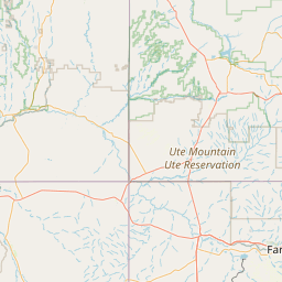
| County: | Ouray |
| Grid: | DM68ce |
| Call: | AD0RM |
| Use: | OPEN |
| Op Status: | |
| Coverage: |
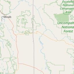
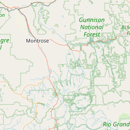
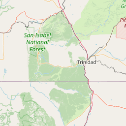
Montrose to Ouray |
| Sponsor: | AD0RM |
| FM: | Yes; analog capable: 25.0 kHz (wideband) |
| Last updated: 2022-06-29 | |
| Last reviewed: 2024-12-07 | |

Exact coordinates of the repeater are
known.
Coverage circle based on mobile coverage and ignores propagation anomalies and terrain.
Non-operational
(member) on 2023-09-24.No analog signal tail heard when attempted from Hwy550/CO62.
Activity
Travel
Posted by: KJ7OIX
Activity
Travel
Posted by: KF0LHO