Courthouse - KC0LSR
Le Center, MN
Repeater ID: 27-18048
| Downlink: | 444.22500 |
| Uplink: | 449.22500 |
| Offset: | +5.000 MHz |
| Uplink Tone: | 136.5 |
| Downlink Tone: | 136.5 |
| System Fusion Enabled | |
| DG-ID: | |
| WIRES-X: | Yes No matching ID is currently active. |
| Reflector: | None found |
| County: | Le Sueur |
| Grid: | EN34dj |
| Call: | KC0LSR |
| Use: | OPEN |
| Op Status: | |
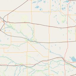
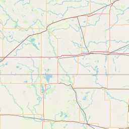
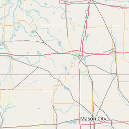
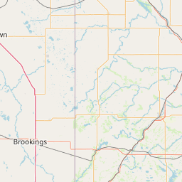
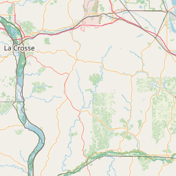
| Coverage: |
Wide area coverage. 40 mi radius. |
| Sponsor: | Le Sueur County Emergency Management |
| Affiliate: | Le Sueur County ARES |
| FM: | Yes; analog capable: 25.0 kHz (wideband) |
| Coordination: | Minnesota Repeater Council |
| Last updated: 2021-12-27 | |
| Last reviewed:
2021-12-27 |
|


Exact coordinates of the repeater are
known.
Coverage circle based on mobile coverage and ignores propagation anomalies and terrain.