Breckenridge, CO
KB0VJJ
Repeater ID: 08-24
| Downlink: | 147.39000 |
| Uplink: | 147.99000 |
| Offset: | +0.600 MHz |
| Uplink Tone: | 88.5 |
| Downlink Tone: | 123.0 |
| County: | Summit |
| Grid: | DM79ak |
| Call: | KB0VJJ |
| Use: | OPEN |
| Op Status: | |
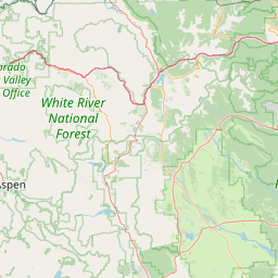
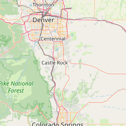
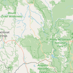
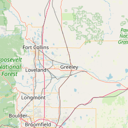
| Coverage: | Wide area coverage. |
| Height (ASL): | 12,700 feet |
| Sponsor: | Colorado Connection |
| Features: |
12,700'. Emergency power equipped. |
| FM: | Yes; analog capable: 25.0 kHz (wideband) |
| Links: | |
| Notes: | Please Note that 146.790 is the old Breckenridge frequency and this repeater may return to that frequency eventually but is now working on 147.390-. This machine has a split tone, 88.5 rx and 123.0 tx |
| Nets: | Colorado Emergency Reporting Net (CERN): Daily at 1830 Colorado Traffic Net: Daily at 19:00 Colorado Connection Net (All Welcome): Thu at 20:00. Statewide ARES net: Sun at 20:00. Colorado Preparedness Net: Sat at 09:30 |
| Coordination: | CCARC |
| Last updated: 2021-05-14 | |
| Last reviewed: 2024-08-19 | |
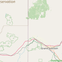
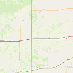
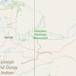
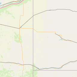


Exact coordinates of the repeater are
known.
Coverage circle based on mobile coverage and ignores propagation anomalies and terrain.
PL changed to 88.5 More changes expected on the CC system West of the divide.
Activity
Travel
Posted by: K5BBC