(1 of 2) The National Weather Service in Sacramento has issued a Red Flag Warning for gusty winds and low humidity, which is in effect from 2 AM to 8 PM PDT Monday. * Winds...North to northeast winds 15 to 25 mph with gusts 30 to 40 mph expected. Strongest winds are expected across the northern and central Sacramento Valley along and west of Interstate 5 and into the northern Coastal Range. * Humidity...9 to 20 percent. * Highest Threat...Northern Sacramento Valley along and west of the I-5 corridor and the adjacent northern Coastal Range. * Impacts...The combination of gusty winds and low humidity can cause fire to rapidly grow in size and intensity. Outdoor burning is not recommended (2 of 2) * Affected Area...Fire Weather Zone 274 Southern Mono County, Fire Weather Zone 420 Northern Sierra Front including Carson City, Douglas, Storey, Southern Washoe, Western Lyon, and Far Southern Lassen Counties, Fire Weather Zone 421 Southern Sierra Front including Alpine, Northern Mono, Southern Lyon, and Western Mineral Counties and Fire Weather Zone 429 Lahontan Basin including Churchill and Eastern Mineral Counties. * Winds...Southwest wind gusts 30 to 40 mph. Gusts to 50 mph in wind prone areas. * Humidity...10-15% during the day with poor overnight recoveries around 20-35%. * Thunderstorms...10-15% chance of isolated dry thunderstorms with gusty, erratic outflow winds primarily in the Sierra. * Duration...8 to 12 hours. * Impacts...The combination of gusty winds and low humidity can cause fire to rapidly grow in size and intensity before first responders can contain them.
honey pot Alturas, Likely Mtn, California, 146.97, WB6HMD Repeater

Likely Mtn - WB6HMD

Alturas, CA
Repeater ID: 06-313

Downlink: 146.97000
Uplink: 146.37000
Offset: -0.600 MHz
Uplink Tone: 100.0
County: Modoc
Grid: CN91rd
Call: WB6HMD
Use: OPEN
Op Status: OFF-AIR Off-Air
Coverage: Wide area coverage.
Sponsor: WB6HMD
Features: Emergency power equipped.
FM: Yes; analog capable: 25.0 kHz (wideband)
Notes: 7,379'
Nets: ARES: Tues at 1900.
Last updated: 2015-12-24
Last reviewed: 2024-11-18
Marker
30 km
20 mi
Leaflet © OSM contributors

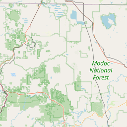
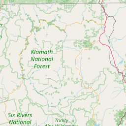
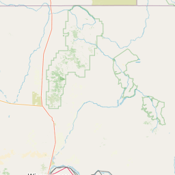
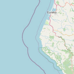
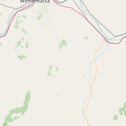
Exact coordinates of the repeater are known.
Coverage circle based on mobile coverage and ignores propagation anomalies and terrain.

Signal Reports (click map icon for details): Base Mobile HT
Add a Signal Report


Call Date Details
NT6K (registered) 2024-11-18 Reported off-air.

(member) on 2015-10-16.

Connected from Redding

Category Definitions
Comments
Coverage
Activity
Travel
"On the air"
Posted by: KL7DJ