(1 of 2) * WHAT...Flooding caused by excessive rainfall continues. * WHERE...Portions of southeast Ohio, including the following county, Washington and northern West Virginia, including the following county, Tyler. * WHEN...Until 700 PM EDT Saturday. * IMPACTS...Flooding of rivers, creeks, streams, and other low-lying and flood-prone locations is imminent or occurring. * ADDITIONAL DETAILS... - At 1048 AM EDT, Gauge reports indicated high water on small rivers and larger creeks and streams in the warned area. In addition, numerous roads remain closed due to flooding in the warned area. - Some locations that will experience flooding include... Marietta, Middlebourne, Williamstown, Paden City, Sistersville, Matamoras, Lowell, Macksburg, Friendly, Lower Salem, New Matamoras, Devola and Lima. - http://www.weather.gov/safety/flood (2 of 2) * WHAT...Flooding caused from excessive rainfall on Friday continues. * WHERE...Portions of southeast Ohio, including the following counties, Athens, Gallia, Meigs and Washington and northern West Virginia, including the following counties, Pleasants, Tyler and Wood. * WHEN...Until 700 PM EDT Saturday. * IMPACTS...Flooding of rivers, creeks, streams, and other low-lying and flood-prone locations is imminent or occurring. * ADDITIONAL DETAILS... - At 1045 AM EDT, Gauge reports indicated high water on small rivers and larger creeks and streams in the warned area. In addition, numerous roads remain closed due to flooding in the warned area. - Some locations that will experience flooding include... Parkersburg, Marietta, Belpre, St. Marys, Pomeroy, Middlebourne, Racine, Coolville, Rutland, Forked Run State Park, Vienna, Ravenswood, Williamstown, Mason, Belmont, Lubeck, Washington, Mineralwells, Boaz and Tuppers Plains. - http://www.weather.gov/safety/flood
honey pot Amherst, Ohio, 146.625, WD8OCS Repeater

Amherst, OH

WD8OCS
Repeater ID: 39-562

Downlink: 146.62500
Uplink: 146.02500
Offset: -0.600 MHz
Uplink Tone: 110.9
Downlink Tone: 110.9
County: Lorain
Call: WD8OCS
Use: OPEN
Op Status: ON-AIR On-Air
Coverage: Multi County
Sponsor: WA8WUU
Affiliate: Lorain County Skywarn.
Features: WX
FM: Yes; analog capable: 25.0 kHz (wideband)
Notes: Located at RT 2 & RT 58 exit.
Nets: Net: Sunday at 19:30 local
Last updated: 2025-04-22
Last reviewed: 2025-04-22
Marker
30 km
20 mi
Leaflet © OSM contributors

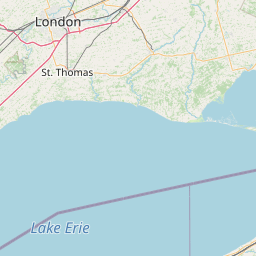
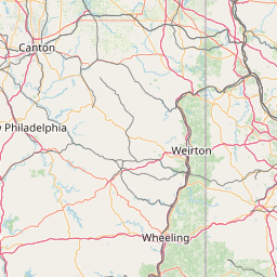
Exact coordinates of the repeater are not known.
Coverage circle based on mobile coverage and ignores propagation anomalies and terrain.

Signal Reports (click map icon for details): Base Mobile HT
Add a Signal Report


Date Information Updated
2021-01-29 16:27:15 I-90 coverage deleted.
2021-01-29 16:26:42 I-90 coverage added.

Call Date Details
KC8EDS (registered) 2024-03-15 Added emergency nets.

(member) on 2013-06-02.

This repeater has a 110.9 tone and was full quieting from my location. This repeater was not listed in the Android app version.

Category Definitions
Comments
Coverage
Activity
Travel

Posted by: KE4KMD