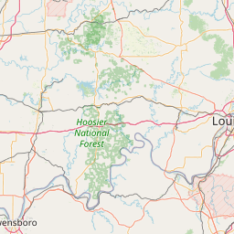
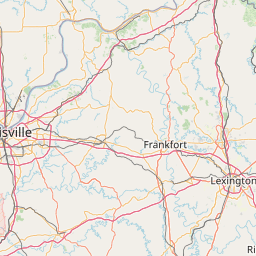
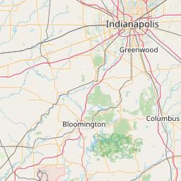
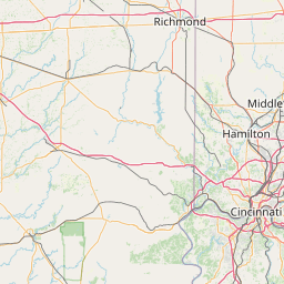
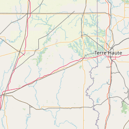
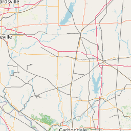
(1 of 2) ...The Flood Warning is extended for the following river and locations in western Indiana... White River at Edwardsport. White River at Elliston. .Rainfall amounts within the past few days of two to four inches across central Indiana is producing minor flooding along the White River in western Indiana. Additional rainfall of a quarter to three quarters of an inch is possible through Monday evening. * WHAT...Minor flooding is forecast. * WHERE...White River at Elliston. * WHEN...Until Monday afternoon. * IMPACTS...At 20.0 feet, River Road north of CR 150 W in Greene County is flooded. Low agricultural fields flood. * ADDITIONAL DETAILS... - There is no current observed data. - Forecast...The river is expected to fall below flood stage early Monday morning and continue falling and remain below flood stage. - Flood stage is 18.0 feet. - http://www.weather.gov/safety/flood (2 of 2) ...The Flood Warning is extended for the following river and locations in western Indiana... White River at Edwardsport. White River at Elliston. .Rainfall amounts within the past few days of two to four inches across central Indiana is producing minor flooding along the White River in western Indiana. Additional rainfall of a quarter to three quarters of an inch is possible through Monday evening. * WHAT...Minor flooding is occurring and minor flooding is forecast. * WHERE...White River at Edwardsport. * WHEN...Until late Tuesday evening. * IMPACTS...At 17.5 feet, Flooding closes Old Vincennes Road. High water crosses SR 358 on the Daviess County side just west of the levee. Flooding begins to affect higher bottomlands. Residential property of river cabins begins to flood. * ADDITIONAL DETAILS... - At 7:00 PM EDT Saturday /6:00 PM CDT Saturday/ the stage was 17.4 feet. - Recent Activity...The maximum river stage in the 24 hours ending at 7:00 PM EDT Saturday /6:00 PM CDT Saturday/ was 17.4 feet. - Forecast...The river is expected to fall below flood stage late Tuesday morning and continue falling and remain below flood stage. - Flood stage is 15.0 feet. - http://www.weather.gov/safety/flood
honey pot Louisville, Indiana, 147.09, N9GTO Repeater

Louisville, IN

N9GTO
Repeater ID: 18-8093

Downlink: 147.09000
Uplink: 147.69000
Offset: +0.600 MHz
Uplink Tone: CSQ
Downlink Tone: CSQ
County: Floyd
Grid: EM78af
Call: N9GTO
Use: OPEN
Op Status: ON-AIR On-Air
Coverage: Wide Area with the VHF system.
Wide area coverage.
Sponsor: Clark County Amateur Radio Club
Features: Linked to 443.300.
FM: Yes; analog capable: 25.0 kHz (wideband)
Notes: Vertex 7000 50 watts Antenna G-7 1100 Feet Above Sea Level
Nets: Severe Weather Net
Coordination: IRC
Last updated: 2017-12-22
Last reviewed: 2024-10-09
Marker
30 km
20 mi
Leaflet © OSM contributors

Exact coordinates of the repeater are known.
Coverage circle based on mobile coverage and ignores propagation anomalies and terrain.

Signal Reports (click map icon for details): Base Mobile HT
Add a Signal Report


Date Information Updated
2021-01-29 16:28:31 Added.
2021-01-29 16:26:42 I-64 coverage added.


(member) on 2021-11-03.

Category Definitions
Comments
Coverage
Activity
Travel
"Add Net on Tue at 20:30 C4FM CQ-Louisville WIRES-X Room (21014)"
Posted by: KC4ZMZ