Notch Peak - KB7WQD
Delta, UT
Repeater ID: 49-88
| Downlink: | 147.38000 |
| Uplink: | 147.98000 |
| Offset: | +0.600 MHz |
| Uplink Tone: | 203.5 |
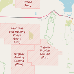
| County: | Millard |
| Grid: | DM39he |
| Call: | KB7WQD |
| Use: | OPEN |
| Op Status: | |
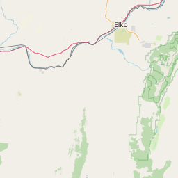
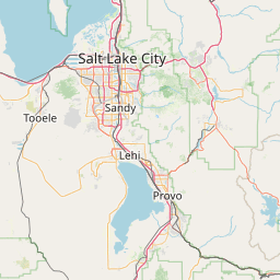
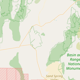
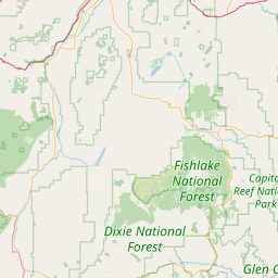
| Coverage: |
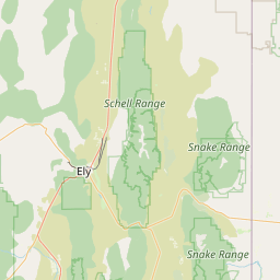
West-central Utah around Delta, Tusher Mountains, Monroe & Clear Creek Canyon. |
| Height (ASL): | 8,890 feet |
| EIRP: | 48 watts |
| Sponsor: | Nyle Stott, KB7WQD |
| FM: | Yes; analog capable: 25.0 kHz (wideband) |
| Coordination: | UVHFS |
| Last updated: 2022-12-09 | |
| Last reviewed: 2022-12-09 | |
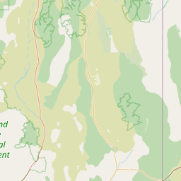
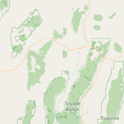
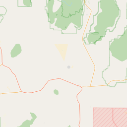

Exact coordinates of the repeater are
known.
Coverage circle based on mobile coverage and ignores propagation anomalies and terrain.
Whoever "anon" is, they really messed up the coordinates. This repeater is for Delta UT area. Corrected coordinates should display soon.
Activity
Travel
Posted by: KG7UDU